Whether you are an Aerial or Ground Applicator, CropMapper provides the most affordable & feature rich customer communication tool available today!
Adaptative
CropMapper was designed so that the entire application will automatically adapter to any device you or your customer might have.
Extremely easy to use and very intuitive allowing you and your customers to work faster and much more efficiently.
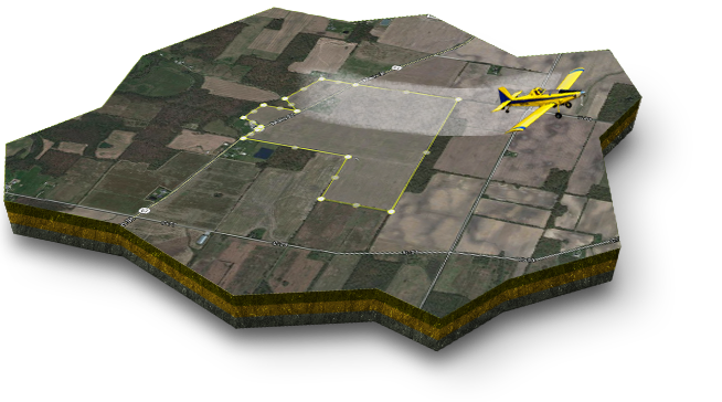
We don't use outdated, obsolete FSU Borders. CropMapper allows you and your customer to draw your fields as they are now...
Helpful tools
The most powerfull online crop management tool available on the market..
The only tool of its kind on the market with a ROI that can be calculated in weeks! In fact, CropMapper will increase your profits!
Designed with a professional and modern interface your customers will love.
Everything you need
Ready to use features: Customer management, Map Administration, Messaging, Stats, Spray Mix Management, Order taking, scheduling, spray reports... And much more.
Customer orders are sent via email with KMZ files for those who love Google Earth, or use the Pilot & Load sheets which are attached...
Automatically list closest Airport and Sensitive areas for Pilot or ground crew...
Smartphone
Tablet / desktop
Features in development September 3rd 2023
NOTE: There are no add-on charges in CropMapper, any new Features and enchancements will appear in your web application as they become available.
AgNav Intergration
SatLoc Intergration
Enhancements in development August 24th 2023
UAV Aerial Mapping (Imaging & NIR) for Precision Agriculture
After completing your order, you will receive instructions via email to get your new site setup. Please note that do to current demand, it is taking 3 to 4 days for new site installations.
CropMapper Annual subscription: $1999.00 USD
Renew's annually unless canceled by customer.
CropMapper Monthly subscription: $199.00 USD
Please note, this is automated billing, if for any reason your account is not renewed, you will lose all customer data after 14 days (you will incur a charge for restoring data).
CropMapper Annual subscription by invoice
Click the link below to request an invoice and payment instructions.


